Disaster Support Mapbooks are now available for all counties in Missouri. Mapbooks are available for download by county. These mapbooks are in GeoPDF format and only require Adobe Acrobat Reader to view. Maps display basic layers, imagery, and critical facilities, as well as the US National Grid. Instructions for using GeoPDFs is available here: GeoPDF Instructions.
Learn about USNG and how to read the Disaster Support Atlas with an instructional powerpoint complete with examples to work through. Two versions are available, one for a classroom with instructor, and one automated with audio to view on your own. USNG Training Materials
For more information, or to obtain a large number of counties, please contact SEMA GIS.
Download Mapbooks:
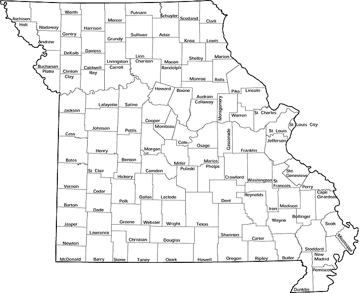
Click on a county to download mapbook, or select a county from the drop down menu: